Home · How it forms
Inside the cloud
How hail forms
Hail falls from a cumulonimbus — a deep, showery thundercloud. The official definition is ice more than 5 mm across, falling from that kind of cloud. [source]
The National Severe Storms Laboratory's public explanation is that hail grows when supercooled water in a thunderstorm freezes on a growing ice particle, and that a strong updraft can keep that particle in the cloud long enough for it to become large. When the stone is too heavy for the updraft to hold, it falls. [source]

That is a different path from sleet or ice pellets, which start as rain (or melting snow) and freeze on the way down. Hail is grown inside the storm, not merely frozen on the descent. The NWS glossary's "small hail" note also cautions that the phrase is sometimes used, loosely, for graupel or snow pellets. [source]
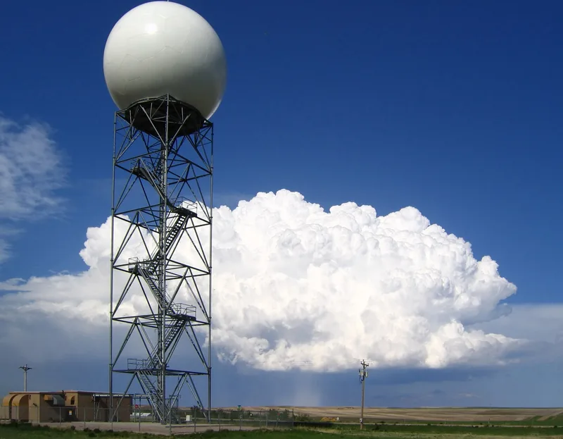
A supercell — a thunderstorm with a long-lived rotating updraft — is especially good at producing large hail, which is why a hail-producing supercell is such a familiar photograph in the American Plains. The radar dish in the picture above was at New Underwood, South Dakota, in 2004, with just such a storm behind it.